From Utrecht to Nepal: Assessing Flood Risks in the Roshi River Catchment
By Isa de Jong and Wout van den Heuvel
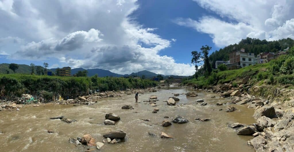
Over the last few decades, disaster risk in Nepal has increased significantly due to climate change, creating an urgent need for detailed, local-scale assessments. Rural mid-hill regions, such as the upper Roshi River catchment, are particularly vulnerable to destructive flooding events. Understanding where floods occur, who is exposed, and why impacts are severe is essential for reducing future losses and strengthening preparedness in these communities.
For us, two master’s students from Utrecht University, this challenge formed the starting point for our thesis project. We, Isa de Jong (MSc Earth, Surface and Water) and Wout van den Heuvel (MSc Earth, Life, and Climate), were given the opportunity by Prof. Dr. W.W. Immerzeel (Mountain Hydrology) to collaborate with Smartphones For Water Nepal (S4W-Nepal). Together, we worked on developing a framework for flood risk assessment in the Roshi River catchment, combining hydrological and climatological perspectives. Our complementary backgrounds—hydrology and climatology with a focus on climate vulnerability and adaptation—provided a strong foundation for the study. The research followed the IPCC flood risk framework, which considers risk as a function of three components: hazard, exposure, and vulnerability. This approach allowed us to systematically analyze flood processes alongside social and environmental factors shaping risk in the catchment.
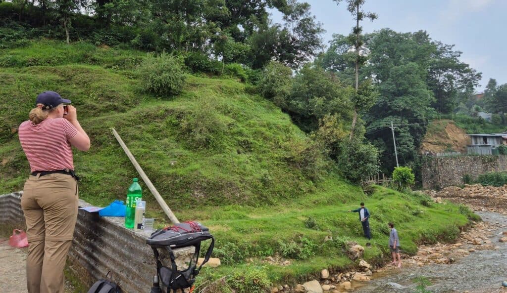
This project was our first experience working on a project outside of Europe. From the very start of the project, we were welcomed and supported by the S4W-Nepal team. Together, we developed an approach to analyze risk in the upper Roshi River catchment. Our time at their office was not only productive but also very educational. We learned a lot about setting up a project from scratch, being adaptive with the limited time and information available to us. Planning field activities proved more challenging than anticipated. Deciding where to install weather stations, water level sensors, and soil moisture sensors—alongside infiltration measurements, river cross-sections, and questionnaire surveys—required careful spatial reasoning and logistical coordination. These planning stages highlighted the complexity of translating theoretical research designs into real-world field settings.
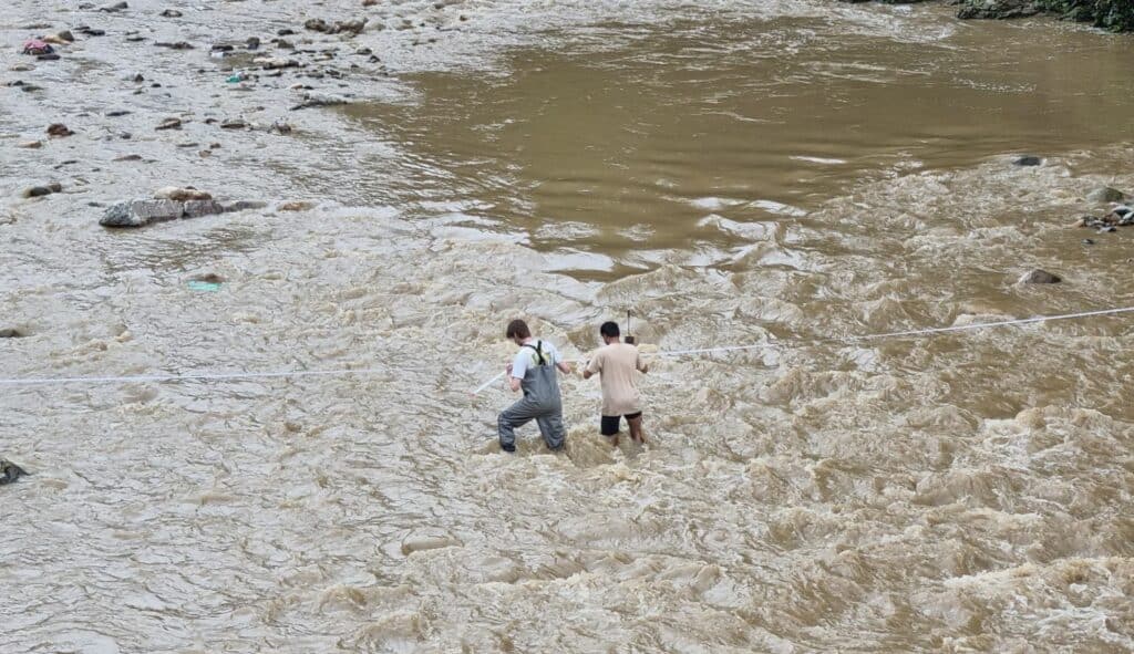
Once the fieldwork commenced, we were quickly phased with the realization that in practice, a schedule must sometimes be abandoned. The study area presented us with an opportunity to once again test our adaptability. We were forced to make quick decisions regarding new approaches and methods. Improvisation or “quick fixes” became a regular part of our days in the field. Whether it was because of weather conditions or a broken measuring tape, we had to be flexible to make optimal use of our time and our resources in the catchment.
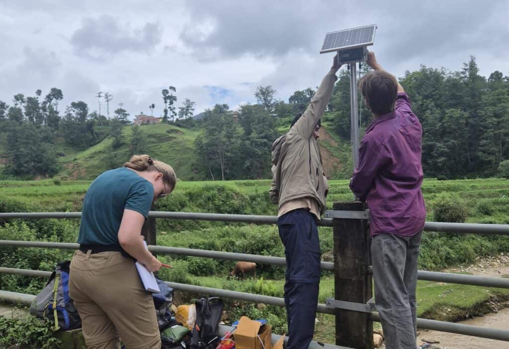
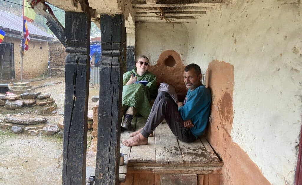
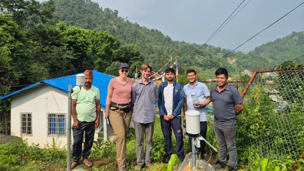
Luckily, the population in the catchment was very welcoming and helpful. Our first day in the field was a testament to this, when we were installing the first weather station. A group of locals came with tools and manpower to help us figure out the installation in practice. It was in these interactions that we discovered the true attraction of Nepali culture. Whether we needed a shovel, specific local information, a hammer, or a cup of tea, the locals were there to help us.
Besides the numerous hours spent in the field and at the office, we fortunately also had time to further experience Nepalese culture, festivities, and nature. Now back in the Netherlands and processing the data, we remain in close contact with S4W-Nepal while finalizing our project of the total flood risk assessment for the Roshi catchment. While our time in Nepal has ended, the work continues. We look forward to seeing how our data contributes to further research in Nepal.
From Utrecht to Nepal: Assessing Flood Risks in the Roshi River Catchment Read More »