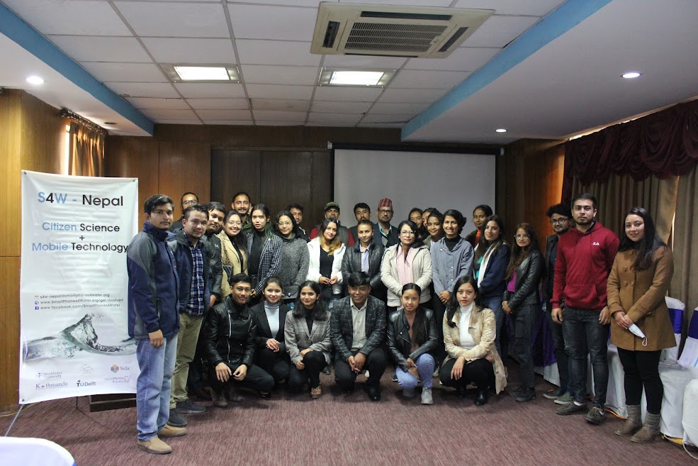
Post-Monsoon Citizen Scientists Celebration 2021
Smartphones For Water Nepal (S4W-Nepal) organized the Post-Monsoon Citizen Scientists (CS) Celebration on the 27th of November 2021 at Alfa House Banquet, Baneshwor to commemorate the success of the ‘Monsoon Expedition 2021’. S4W-Nepal had aimed this program to be a gesture of gratitude towards its CS for their time and dedication during the entire expedition. Dr. Dinesh Pathak, the President of S4W-Nepal and a Professor at the Central Department of Geology of Tribhuvan University, had been invited as the chief guest of the event. Shortly after a brief introductory session of the participants, the program was commenced by Ms. Priya Silwal, the Research Associate of S4W-Nepal, with an introduction on S4W-Nepal and its activities. It was then followed by the presentation on “Citizen Science-based Monsoon Expedition” by Mr. Sudeep Duwal, the Research Associate of S4W-Nepal. He discussed the importance of the citizen science approach in generating the data with good spatial coverage for a better understanding of the rainfall pattern of the Kathmandu Valley (Valley). He also explained about the reliability of a cost-effective S4W rain gauge and demonstrated the comparison of CS-generated rainfall data with the rainfall data generated by the Department of Hydrology and Meteorology (DHM).
The major highlight of the program was the certificate distribution session. The participants of the Monsoon Expedition 2021 were awarded with certificates of appreciation by the chief guest for their continued enthusiasm throughout the expedition. Ms. Susa Manandhar was awarded with the title of ‘Rainfall CS of the year’ for 2021, and was given a token of appreciation for her significant contribution in taking daily rainfall measurements. The ‘CS of the month’ for each month throughout the expedition were also acknowledged during the event. Moreover, the CS who have been actively participating in the annual monsoon expedition of S4W-Nepal since 2018 were also applauded with a token of appreciation. Apart from that, certificates were provided to the past executive team (2020/2021) of the Young Researchers’ Circle (YRC) for their remarkable work throughout their tenure.
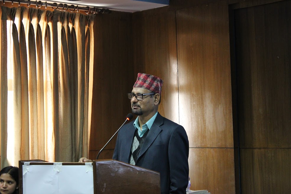
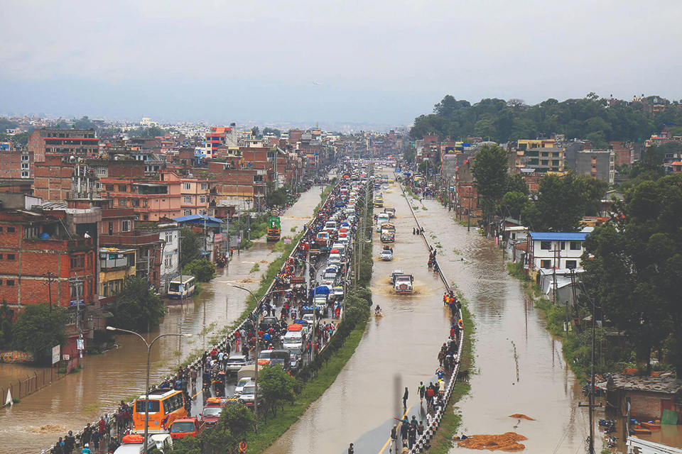
After the certificate distribution session, the chief guest, Dr. Pathak gave his valuable remarks regarding the applicability of S4W-Nepal’s Citizen Science approach in generating hydro-meteorological data in resource-constrained areas like Nepal. He stated that precipitation is a pivotal component of the hydrological cycle and groundwater is a precious freshwater resource of our country, extensively available for consumption. Therefore, there is a crucial need for monitoring the precipitation and understanding the groundwater recharge potential to effectively manage the available water resources. He further explained the difficulties in understanding the microclimatic events of Nepal due to insufficient DHM hydrometeorological stations, and applauded S4W-Nepal for its remarkable steps in the field of science for collecting the much-needed data. Further, some interested CS also shared the experiences regarding their participation in the monsoon expedition. Most of them stated that they feel extremely happy to be a part of this campaign playing a significant role in rainfall data generation in a data scarce country like Nepal. Some of them mentioned how their involvement in the expedition has increased their concern and curiosity regarding hydrological research in the country and boosted their enthusiasm to contribute to it.
The formal program was concluded by Mr. Rajaram Prajapati, the Chief Executive Officer (CEO) of S4W-Nepal, with his words of thanks. He thanked all the CS and young researchers for their active involvement in preparing their own rain gauge for the monsoon expedition of 2020 and 2021, amidst the restrictions of the COVID-19. He added that it is impossible to use expensive trackers and entirely depend upon the government for data generation in disaster-prone developing regions like Nepal, so each citizen must play their part in research activity. He further added that the DHM data is insufficient for drawing reliable conclusions, so the CS-generated data is extremely valuable for the long run and it should be kept up to date. He mentioned how he believes in making science simple and visible and concluded his words with his plan to work in flood monitoring.

The formal session was concluded by taking a group photo and it was followed by an interactive session where the participants actively interacted with their counterparts. The feedback and suggestions of the CS were also collected by requesting them to fill the feedback sheets to make necessary improvements to the expedition in the upcoming years. There were 34 participants in total including the CS, YRC executive members, and S4W-Nepal staff in the event, which was moderated by Ms. Anusha Chalise, the Research Assistant of S4W-Nepal. The entire S4W-Nepal team looks forward to conducting similar events to enhance their relationships with their hardworking CS, and make it simpler and easier for them in further projects.
Post-Monsoon Citizen Scientists Celebration 2021 Read More »


 one spouts.