Headwater streams are small and numerous capillaries of stream networks and comprise a significant portion of aquatic ecosystems. Headwaters are defined as a watercourse within the first 2.5 km of its furthest source, occurring over a range of climate, geology, hydrology, and biogeographical settings (Callanan et al., 2008). In contrast to downstream reaches, headwater streams are characterized by their close interactions with the hill slopes processes, more spatiotemporal variation, and their extra need for different means of protection from land use (Gomi et al., 2002). Headwaters streams are necessary for understanding and protecting downstream ecosystems as they are intimately linked. Given their importance and growing pressures on aquatic resources, understanding the drivers of headwater flow must be improved to facilitate wise land and water management decisions.
In the Kathmandu Valley (Valley), headwaters are mostly present in the outskirts of the developed areas and are near natural land uses. Headwaters are clean and pure and provide water to meet the domestic and irrigation demands of the population living in the Valley. The domestic water demand in the Valley was 415.5 million liters per day (MLD) in 2016, which is expected to increase to 540.3 MLD by 2021 (Udmale et al., 2016). To supply fresh water to the entire Valley population, Kathmandu Upatyaka Khanepani Limited (KUKL) has tapped headwater streams and springs into reservoirs. Regardless of their significance, headwater streams are underestimated and poorly managed compared to the downstream streams. These streams are channelized, diverted, polluted, and at worst destroyed. The headwaters should be conserved in order to sustain the downstream population.
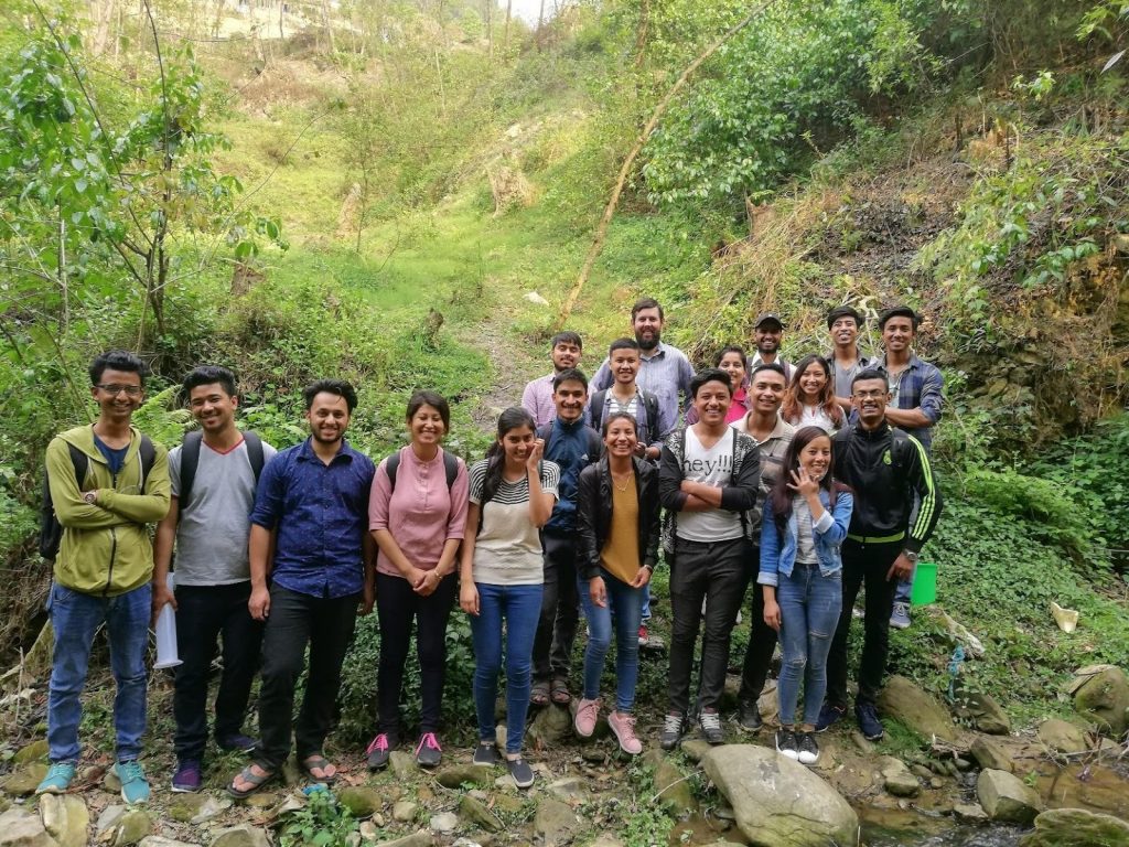
Therefore, Smartphones for Water Nepal (S4W-Nepal) has started monitoring these headwater streams since 2018 by involving young researchers and citizen scientists. As a part of headwater stream monitoring, S4W-Nepal has been collecting hydrological data that includes stream water level, stream discharge along with their water quality of the 14 different headwaters of the Kathmandu Valley.
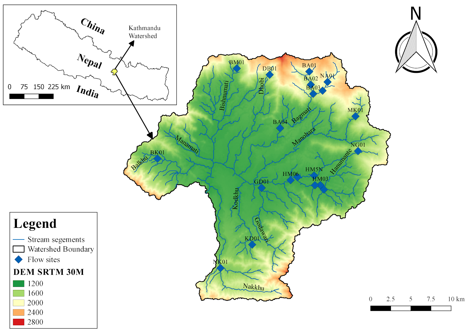
Figure 1 shows the monitoring sites of the S4W-Nepal. Every month, young researchers from S4W-Nepal perform United States Geological Survey mid-section method discharge measurements with a SonTek FlowTracker Acoustic Doppler Velocimeter and measure the water level from a staff gauge installed in the streams. Furthermore, they also collect few water quality parameters such as temperature, EC, pH, and TDS. All the data are recorded using an android application called Open Data Kit (ODK) Collect. S4W-Nepal intends to increase its stream monitoring network in the future by involving a greater number of citizen scientists.